Legend Pane - Help Pages
Open a web map such as the OpenEnviroMap will display a topo map of the state of New Mexico (similar to Google Maps). Most layers will be turned off until you need them.

To turn one on, either select it in the Identifiable Layer drop-down box, or...
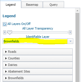
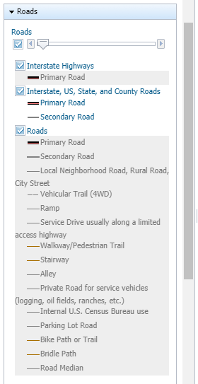
...click its name in the legend to open its layer pane, and then check the box under its name in its legend pane entry.
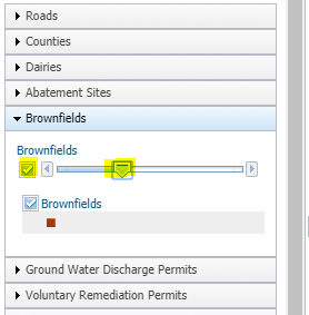
If a layer in the legend is grayed out, or disabled, it means the layer is out of zoom scale. Either zoom in to see it, if it is meant to be viewed at a large scale, or zoom out, if it is meant to be viewed at a small scale, and the layer features will appear as soon as it is enabled in the legend.
|