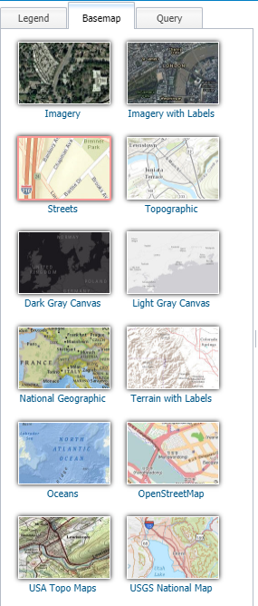
Basemaps Menu - OpenEnviroMap (OEM) - Help Pages
The Basemaps Menu displays the different background reference layers you can apply to your map.
Only one may be selected at a time, and you can not select items on it with the identify tool.
|
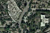
Imagery
This layer presents satellite imagery for the world and high-resolution imagery for the United States and other areas around the world.
|
|
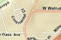
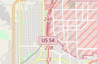
Streets
This layer presents highway-level data for the world and street-level data for North America, Europe, Africa, parts of the Middle East, Asia, and more.
|
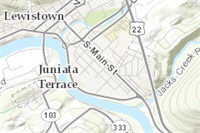
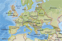
Topographic
This world topographic map includes boundaries, cities, water features, physiographic features, parks, landmarks, transportation, and buildings.
|
Dark Gray Canvas
This layer draws attention to your thematic content by providing a neutral background with minimal colors, labels, and features.

|
Light Gray Canvas
This layer draws attention to your thematic content by providing a neutral background with minimal colors, labels, and features.

|
National Geographic
This map is designed to be used as a general reference map for informational and educational purposes as well as a basemap by GIS professionals and other users for creating web maps and web mapping applications.
|
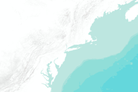
Terrain
This layer features shaded relief imagery, bathymetry, and coastal water features designed to provide a neutral background for other data layers.
|
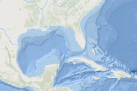
Oceans
This layer is designed to be used as a basemap by marine GIS professionals and as a reference map by anyone interested in ocean data.
|
OpenStreetMap
OpenStreetMap is a map of the world, created by people like you and free to use under an open license.
|
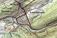
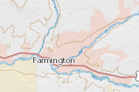
USA Topo Maps
This layer presents detailed USGS topographic maps for the United States at multiple scales.
|
USGS National Map
As one of the cornerstones of the U.S. Geological Survey's (USGS) National Geospatial Program, The National Map is a collaborative effort among the USGS and other Federal, State, and local partners to improve and deliver topographic information for the Nation.
|
|
page last updated
|